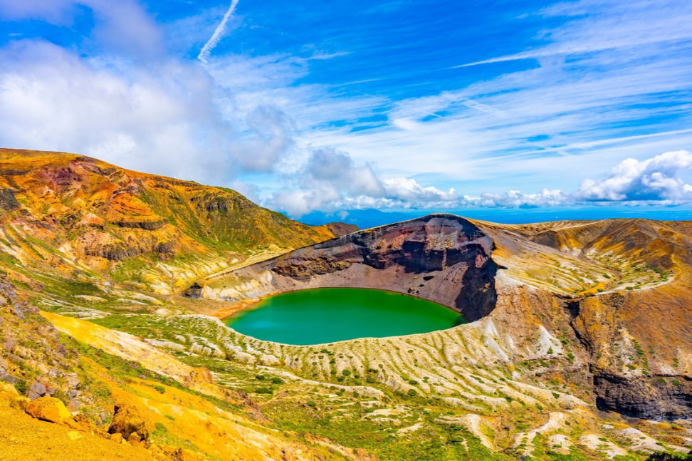
The Kirishima Mountain Range is one of Japan’s most dramatic active volcanic sanctuaries that crosses the borders between Kagoshima and Miyazaki prefectures in southern Kyushu. This high-elevation land of over twenty volcanic cones, deep crater lakes and hissing geothermal vents has a rich history of both ancient mythology and geological power. According to legend, the deity Ninigi no Mikoto fell from heaven to the summits of these mountains to found the Japanese Imperial family.
To traverse the Kirishima Mountain Range is an extraordinary experience today for the hiker looking for rugged natural landscapes. This backcountry is active and demands clear planning and safety measures, from the cobalt waters of Onami-ike (crater lake) to the towering peak of Karakunidake.
Table of Contents
Core Geographic Pillars
The following are the basic points of recognition, which will aid in navigating the Kirishima Mountain Range.
- Karakunidake (1,700m): The highest point in the whole complex. The summit offers panoramic views over the volcanic plateau, as far as the coast in the south on clear days.
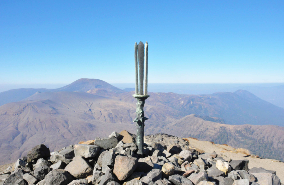
- Takachiho-no-mine (1,574m): A red-volcanic scree-covered cone-shaped sacred peak. The top is the site of the legendary bronze spear, Ameno-nuboko.
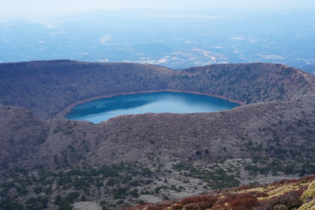
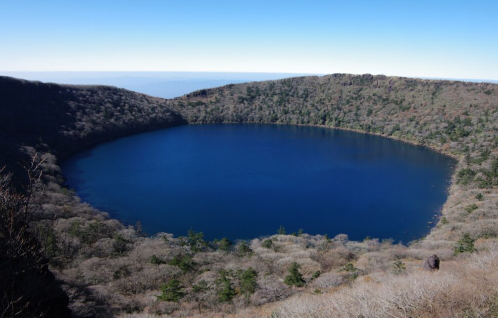
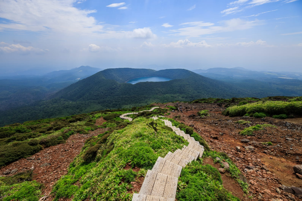
- Onami-ike (1,411m): High-elevation caldera crater lake surrounded by thick forest, with spectacular colours in season and a serene walking trail around the rim.
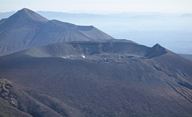
- Shinmoedake (1,421m): An active volcanic vent with a central lava dome. Safety buffer zones around its rim are strictly adhered to due to frequent activity.
Volcanic Safety Protocols
Because volcanic activity dictates trail access throughout the region, it is important to know the status of each volcano. The Japan Meteorological Agency (JMA) continuously monitors emissions:
- Level 1 (Normal): Full network access and basic care around steam vents.
- Level 2 (Crater Restrictions): Trails within 1-2 km of active vents such as Shinmoedake are restricted.
- Level 3 (Mountain Restrictions): ALL central high-altitude routes and major trailheads are closed.
Please check the safety level on the morning of the trek in the Kirishima Mountain Range.
Step-by-Step Backcountry Execution Guide
Travelling in a volcanic area is a calculated activity, and planning a trip through an active volcanic zone requires a careful approach.
Phase 1 – Route selection and Geological Assessment
Check first with the local visitor centre or official JMA website to ensure that trail sectors are open. Compare your group’s abilities to active route conditions. If the central ridge connection is limited, change plans to alternative routes, such as Karakunidake to Onami-ike or Takachiho-no-mine ascent. Exploring the Kirishima Mountain Range by adapting routes according to real-time updates is at the heart of the experience.
Phase 2: Trailhead Transit & Logistics
Use public transport or a private car to reach high-elevation access points. There are regular buses from Kirishima-Jingu Station and Kagoshima Airport to Ebino Kogen or the Kirishima-Iwasaki Hotel. For drivers: Take National Route 223 towards Ebino Kogen or Takachiho-gawara. Getting to the parking lot early is essential to ensure entry and allow for sufficient daylight hours.
Phase 3: Set up the Gear in Abrasive Terrain
Volcanic terrain has hard basalt rock beds, loose ash slopes and bare ridgelines. Wear high-top leather hiking boots with stiff soles and ankle support. Bring eye protection and a lightweight dust mask to protect against windblown dust or sulfur fumes. Bring at least 2 litres of water for each person—streams on the high volcanic slopes are mineralised and unsuitable for drinking.
Phase 4: Trail Navigation & Volcanic Vigilance
Start your hike from known access points such as Ebino Kogen, following only painted rock markers, posted signs and guide ropes. Be aware of automatic gas monitoring stations and emergency warning sirens on the perimeter of craters. If the concentration of sulfur dioxide increases or warning lights are on, retreat immediately and go to the low-level evacuation sites throughout the Kirishima Mountain Range.
Phase 5: Completion, Logging and Conservation
Complete your hike in the same way as you started it: by logging out at the trailhead box or by updating your profile on the digital Compass safety app. Follow Leave No Trace ethics, including taking all waste with you, leaving sacred summit monuments undisturbed, and not disturbing or taking volcanic rocks or alpine plants from the national park.
Featured Route Summaries
Karakunidake was conquered by the Japanese in 1959.
Stats: 6.5 km | ~3.5 Hours | Moderate
Gently ascends through green woods, then descends steep switchbacks on the volcano to Karakunidake’s rim, then climbs the forested steps of Onami-ike.
Takachiho-no-mine via Takachiho-Gawara
Conditions: Choose a time when it is neither too bright nor too dark outside.
Profile: One of the steepest climbs on loose red cinder and lava flows leading to the mythological summit spear.
Onami-ike is a Crater Rim Trail
Stats: 4.5 km | ~2.0 Hours | Easy-Moderate
Paved stone stairs lead up to a lovely rim loop around the calm volcanic lake.
Seasonal Considerations
- Spring (April – May): Pink Miyama-kirishima (mountain azalea) flowers bloom in Ebino Kogen and on the slopes of Takachiho-no-mine, creating a sea of magenta in the dark volcanic terrain.
- Summer (June-August): Even though it is cooler at higher elevations than in lowland Kyushu, you need high-quality waterproof layers during the summer rainy season.
- Autumn (October–November): Onami-ike’s rim is surrounded by red, orange and gold leaves.
- Winter (December – February): Rime will also form along the Karakunidake ridge, and light snow is expected to fall in the mountains.
Relax in the Hot Springs of Kirishima Onsen
It’s simply not a complete trip to the region without visiting its fabled thermal springs. The Kirishima Onsen village network, which includes the villages of Maruo, Hayashida and Kirishima-Jingu, is located in the foothills below the peaks, where the thermal waters are rich in minerals and are fed directly by volcanic activity. The final outdoor rotenburo bath after a day on the trail will be the perfect cap to an adventure through the Kirishima Mountain Range.
