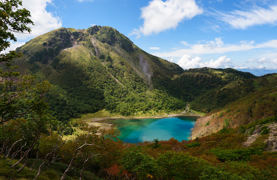
There are lots of shrines and city lights in Kanto. It also conceals a wild volcanic peak, however. The Nikko-Shirane Trail and Oku-Nikko Trail can help you.
The height of Mt. Nikko-Shirane is 2,578 metres. It’s the highest peak in the Kanto region. The hiking path passes through volcanic rock, alpine flowers and crater lakes. Technical climbing equipment not required. Just bring boots and a full water bottle.
Here you will find an overview of the Nikko-Shirane and Oku-Nikko Trail with information on access, cost, safety, and season.
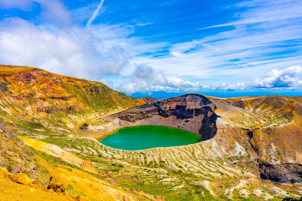
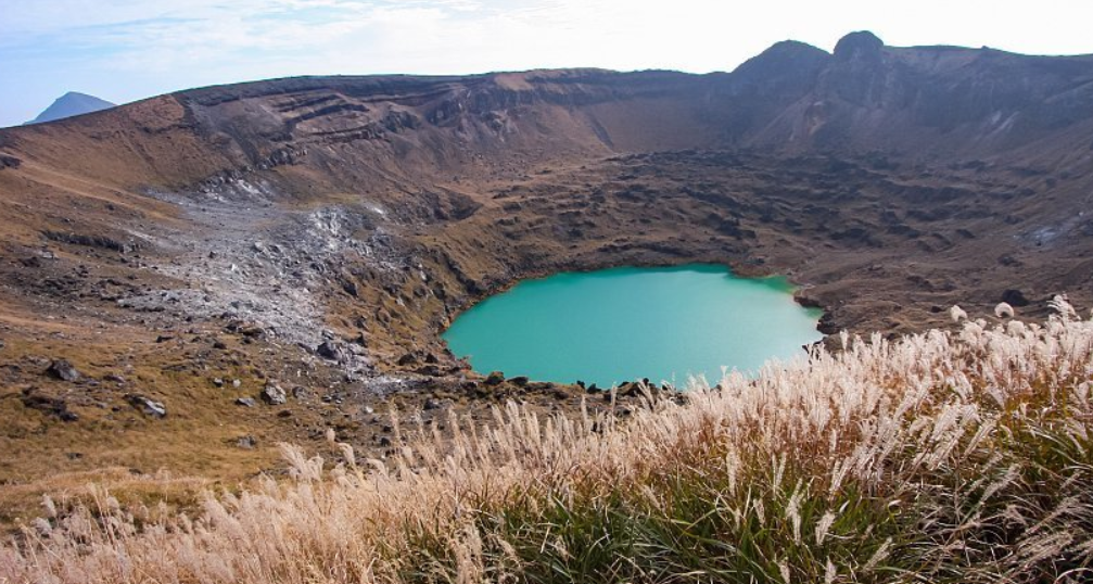
- The highest peak in the Kanto region. At the summit is a crater lake and a volcanic dome.
- Alpine flowers bloom in June-July. To save the climb, there’s the ropeway option.
- Two views of Lake Chuzenji and Mt. Nantai from the top.
Table of Contents
1. Route Options
The best route options to Mt. Nikko-Shirane and the Oku-Nikko Trail are as follows:
- Yumoto Onsen Route: The original, toughest route. It begins at Lake Yunoko. Round trip time is around 9 hours with 1,300 metres of gain. Near the top, steep root-covered sections.
- Ropeway Route (Marunuma Kogen side): Easy access route up. The Nikko-Shirane Ropeway takes you up from 1.4 km to 2 km. From here, it takes about 2.5 hours up and down to the summit. The Nikko-Shirane and Oku-Nikko Trail is ideal for a day hike.
- Sugenuma Trailhead: A less travelled trail on the Gunma side. Must have your own vehicle.
2. Best Time to Visit
The following are the good seasons to visit Nikko-Shirane and Oku-Nikko Trail:
- Near the summit, alpine flowers, such as the rare Shirane-aoi, flower in June-July.
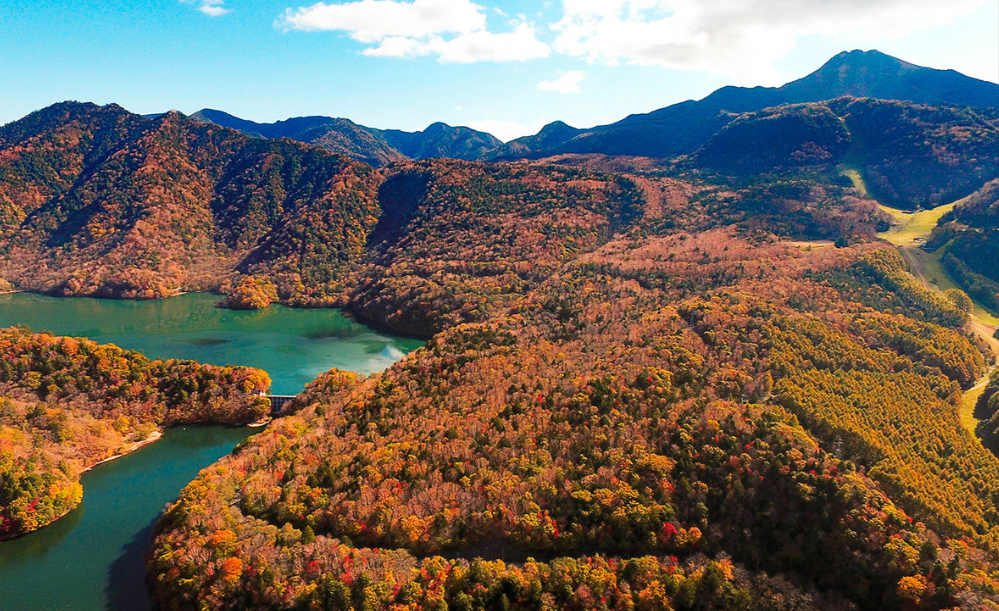
- Late September – mid-October: spectacular autumn colours, particularly on the ropeway.
- Winter: Closed for hikers, and open for snowboarders.
- Snow may remain on the trails well into the summer, so be sure to verify conditions before heading out.
Read More: Odaigahara and Omine Mountains
3. Cost Breakdown
The best cost options to Mt. Nikko-Shirane and the Oku-Nikko Trail are as follows:
- Ropeway: ¥3,000 round trip
- Take the bus from Numata Station: approximately 1 hour 45 minutes at a moderate cost
- Two types of paid parking are available near Marunuma Kogen, one for each season.
- Trail entry is free.
4. How to get to the Nikko-Shirane Trail and the Oku-Nikko Trail
The following shows how to reach the Nikko-Shirane and Oku-Nikko Trails:
- About 1 hour 45 minutes by bus (transfer at Kamata) from Numata Station.
- From Numata IC (Kan-Etsu Expressway): about 50 minutes by car.
- Trailheads on the Tochigi side accessible from Tobu Nikko Station: bus service is available towards Yumoto Onsen.
- Three main starting points: Yumoto Onsen, Sugenuma and Nikko-Shirane Ropeway station.
5. Safety Tips
The following are the safety tips one must follow on Mt. Nikko-Shirane and the Oku-Nikko Trail:
- The final summit push consists of loose rock and some scrambling.
- The descents may be steeper and slicker than the ascent.
- The weather near the crater is highly unpredictable, even in the summer – bring a windbreaker.
- Most of the signs along the trail are written in Japanese; write down the kanji names beforehand.
- Check in at trailside registration boxes (if available).
- Begin early; it’s not until late afternoon that the ropeway and buses close.
6. Traveller Recommendations
The following lists traveller recommendations for Mt. Nikko-Shirane and the Oku-Nikko Trail:
- After the hike, take a dip in one of the soothing hot springs at Yumoto Onsen.
- Before you leave, make sure to copy the Japanese names of places – there is limited English signage available.
- For fewer crowds, avoid weekends – particularly during the peak flower season.
- Bring a light lunch as there aren’t many food stalls available on the mountain.
7. Useful Travel Tips
The following are the non-negotiable travel tips one must consider for Mt. Nikko-Shirane and the Oku-Nikko Trail:
- Download maps offline – signal drops in the valleys near the crater.
- Layer up. Weather conditions are very unpredictable from the bottom to the top.
- Be sure to bring more water than you think you’ll need.
- When using the ropeway, check the last descent time in advance.
Conclusion
The Nikko-Shirane and Oku-Nikko Trail offers the best of Kanto with the region’s highest peak, a crater lake on a volcano and the best of the alpine scenery a day hike from Tokyo can offer. Take the harder “Yumoto Onsen” route or the easier “ropeway shortcut”; visit at the time of the June-July bloom or the fall foliage; and pack a windbreaker and get to the area early. It’s a good one-day getaway from the city without any mountaineering experience.
