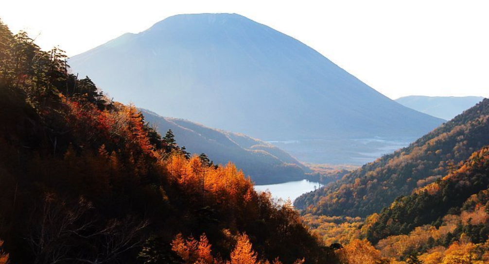
Some trails test your legs. Here, your courage is put to the test. The Okuhotaka to Nishihotaka Ridge is famous as Japan’s toughest hike, and when you get a glimpse of the landscape, you’ll understand.
This isn’t a walk. The excursion is a climb on bare rock, across thin ledges and through chains of iron fixed to rock faces between the third-highest peak in Japan and a rugged cliffside not far away. For advanced hikers looking for a challenge beyond a day walk, the Okuhotaka to Nishihotaka ridge is a must-hike.
Table of Contents
The Okuhotaka to Nishihotaka Ridge is so famous – why?
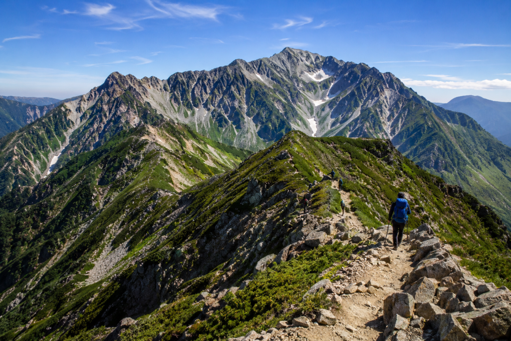
This route is rather deep in the Northern Alps, between Okuhotakadake (3,190m) and Nishihotakadake (2,909m). The distance between them is short on paper – only approximately 3 km – except that you can take from 5 to 8 hours to traverse from one to the other.
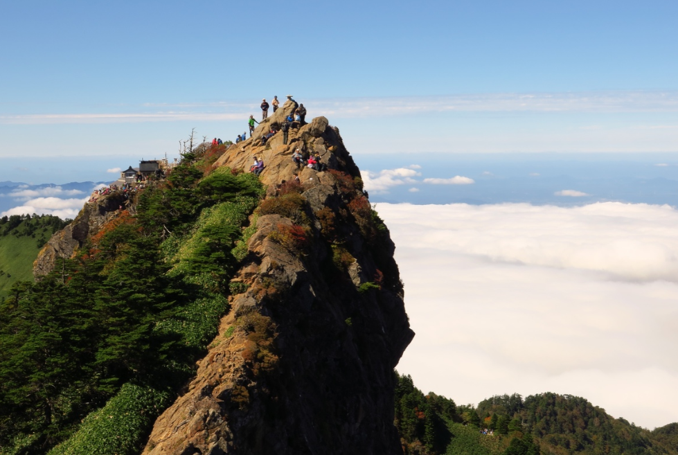
Notable rock ridges with steep faces on either side. A part known as the “Donkey’s Ears” and “Horse’s Back” because they are so narrow. Hand and footholds on chains and iron rungs attached to the rock. Unstable ground that can move when you walk on it. Over 100 years have seen hikers pass through the Okuhotaka to Nishihotaka ridge, a journey which began in 1912. It has yet to become easier since!
Route Options
The following two routes are used to reach the Okuhotaka to Nishihotaka ridge:
- From Kamikochi: Hike up Mt. Maehotaka and Tsurione ridge to Hotakadake Sanso for the night and cross over to Nishihotaka the following day.
- From Shinhotaka Onsen: Take the ropeway and continue on to Nishiho hut, then to Okuhotaka (this is a longer hike if you wish to reach Okuhotaka itself, and may take about 9 hours from Nishiho hut).
A lot of people who have hiked the trail before prefer to take the entire walk but spend a night in a mountain hut, rather than do it in one go. The best time to visit the area is on a clear day. This trail is more time-sensitive than most in Japan.
- Type of vegetation: Woodland and scrub, typically not at sea level but rather up on the ridges.
- Stay away from: Early spring and late autumn (snow and ice – much more dangerous on the rock sections)
- Optimum weather time: Clear mornings in July and August before the afternoon cloud rolls in.
- Crowds: July (on weekdays) is less crowded than August (on weekends).
Those attempting the Okuhotaka to Nishihotaka ridge outside the summer season should have a high level of alpine experience and appropriate winter gear. As you can see, there are several activities to enjoy along the way. This is not just a ridge hike. It’s a complete alpine experience:
Light rock climbing and scrambling along exposed rock faces.
For descents on near-vertical sections, a chain is used to help control the descent. Views from the ridge of Mt. Yarigatake and the surrounding mountain ranges of Hida. Overnight accommodation in traditional mountain huts, with communal bunk rooms and hot food. The early morning beams of light on the Gendarme rock tower are perfect for photographers along the Okuhotaka to Nishihotaka ridge.
How to get to the trailhead?
Some planning is needed to get to the Okuhotaka–Nishihotaka ridge, as private vehicles are not allowed in Kamikochi.
- From Tokyo: Take the train to Matsumoto, and then take the bus to Kamikochi.
- From Takayama, take the bus to Hirayu Onsen, then the bus or ropeway to Shinhotaka Ropeway or Kamikochi.
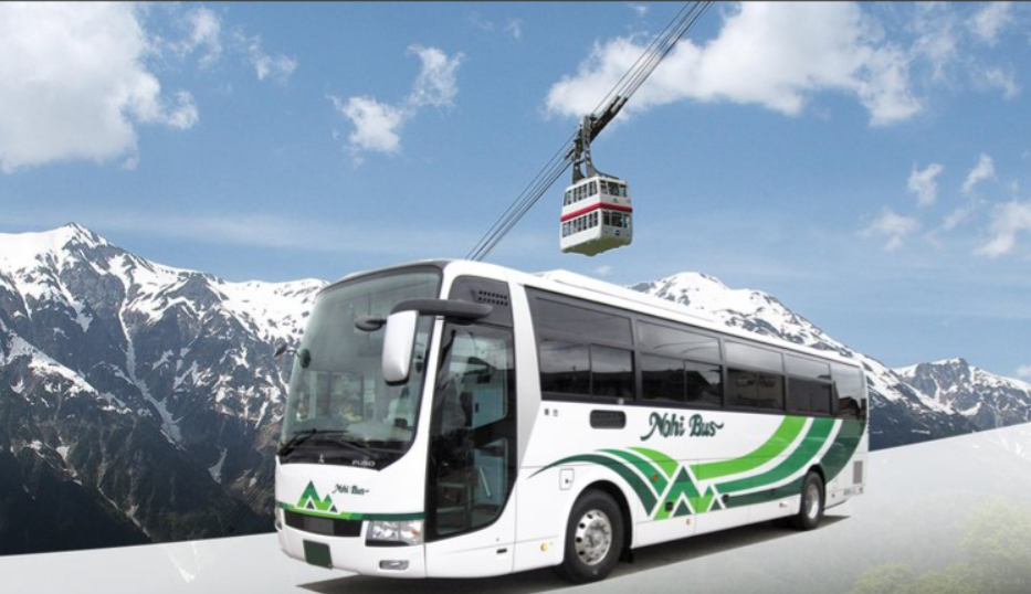
- Shinhotaka Ropeway buses: From Hirayu Onsen (¥910 one-way) and Takayama Station (¥2,200 one-way).
- Combo tickets: Bus and ropeway tickets from Takayama are approximately ¥10,500–11,000 for multi-day passes, making it more cost-effective than purchasing tickets separately.
Budget
The following is a rough guide to the Okuhotaka–Nishihotaka ridge trip:
- Getting to the trailhead: ¥250–450 drop-off fee
- You can go to the station and take the ropeway for about ¥2,900 round trip.
- Dinner, futon and breakfast at a mountain hut: ¥10,000–13,000 / night, typically
- First-timers are advised to hire a guide (optional), depending on the operator.
- Don’t skimp on a night in a hut – even if you’re fit as a fiddle, you might be tempted to try it in one long day!
- Discuss safety advice that you can’t miss.
- This section is more important than all other sections on this page.
- Always wear a helmet – there is a real possibility of rockfall on this route.
- Never use the chains as the sole points of contact: always have 3 points of contact.
- Keep an eye on the weather forecast the night before and the morning of your hike.
- Fog will cause loss of visibility on exposed rock; turn around if it comes in.
- Make sure to bring a headlamp with you if you fall behind schedule!
- Walk in pairs – solo walks are a high-risk activity.
- Be sure to book your mountain hut room early in peak season.
Over the years, hikers have fallen to their deaths on the Okuhotaka to Nishihotaka ridge. Treat it with respect – it’s no small mountain hike!
Traveller Recommendations
Anyone who has crossed will have some similar observations:
- Begin early in the morning, before the heat of the day and before the afternoon clouds roll in.
- Some choose trail running shoes, but on rocky terrain, solid hiking boots provide the necessary ankle support.
- Carry light on the scrambles – every extra kilogram counts!
- The Nishiho Doppyo viewpoint near the hut is a worthwhile (short) extra to the hike.
Final Words
Don’t venture onto the Okuhotaka-to-Nishihotaka ridge without preparation. A true mountain adventure, set in one of the most beautiful mountain landscapes in Japan. Prepare well, take the weather into account, and you’ll have one of the most spectacular walks around the Northern Alps.
