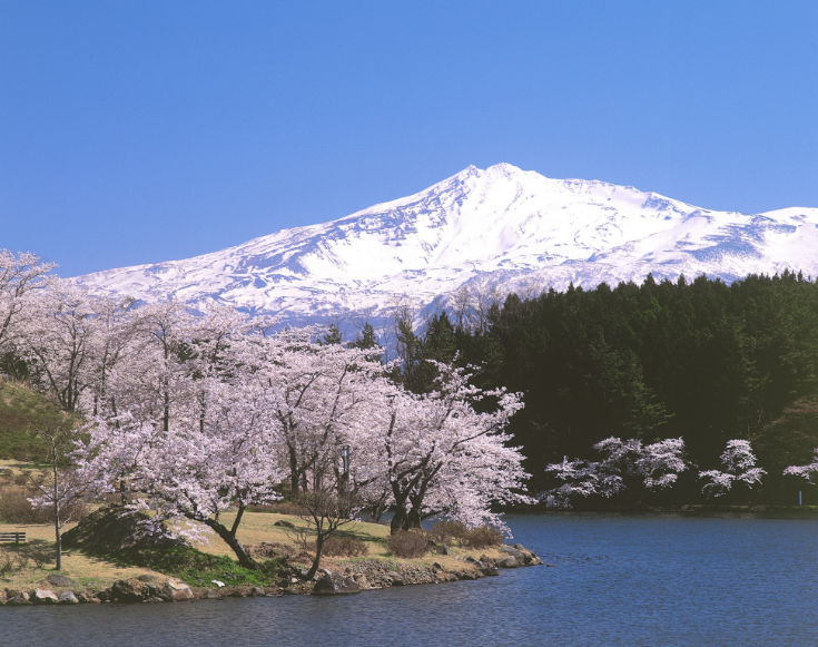
Mount Chokai is located on the border between Akita and Yamagata prefectures at the end of the Sea of Japan. This 2236m symmetrical, cone-shaped volcano. It is also known as “Dewa Fuji” and is regarded as one of the most beautiful climbs in Japan. Every year, people come to enjoy the wildflower meadows, coastal views, and volcanic ridgelines of a hike on Mount Chokai.
Table of Contents
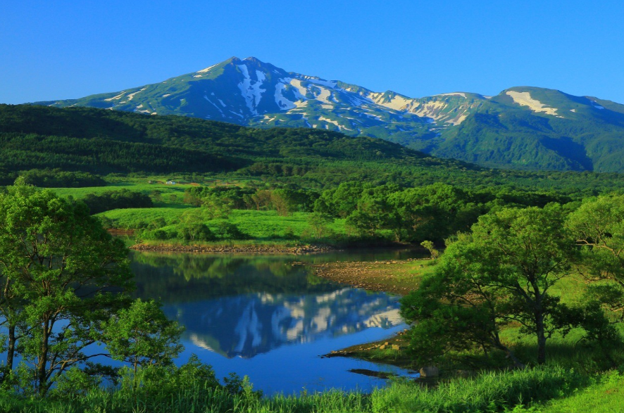
Why does this mountain stand out?
Mount Chokai is located near the sea, in contrast to many other mountains inland. For this reason, it is possible to enjoy ocean views from a higher altitude. At the same time, it is not often seen in the rest of Japan. This is why a hike to Mount Chokai is often included in the top 100 mountains. It is compiled by the mountaineer, Kyuya Fukada.
Much of the land here has been formed by volcanic activity. The dramatic lava formations can still be seen on several of the trails here. There is also a good cover of alpine flora; rare species are being protected within the boundaries of the national park.
When to try the Climb?
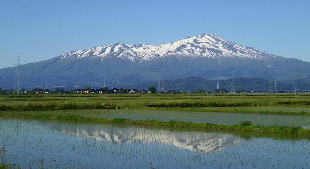
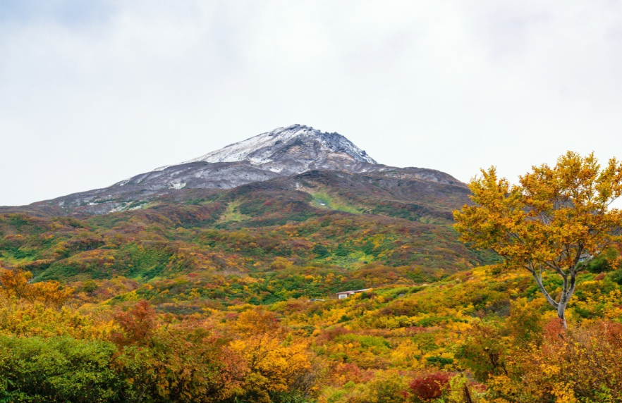
The climbing window is relatively short as compared to lower mountains. Most of the trails are cleared of the snow between late June and early October, and that time of year is deemed the safest for hiking Mount Chokai. With the exception of winter mountaineering experience, it is not strongly recommended that climbers attempt it outside the window.
Wildflowers come into bloom at their best during the summer, especially in July. It’s during this period that alpine meadows turn to fields of colour. September is not so popular for its crowds and warm temperatures, however. Whilst any time is good, it is always recommended to leave early as fog and cloud are likely to roll in during the afternoon.
Selecting a Starting Point
There is more than one trailhead from which to start a Mount Chokai hike, and it should be chosen depending on the amount of time available and the desired level of difficulty.
Along the coastline, the Yudonasan and the Fukura are popular routes that offer sweeping sea views. These tracks are a more gradual introduction to the base of the mountain.
Another coastal route is the Kisakata, which has a literary association as Matsuo Bashō used to travel it.
The inland approaches via Yashima and Nikaho routes are considered to be faster but steeper. These tend to be selected by well-versed hikers who have limited time.
These trails will all eventually lead to the vicinity of the upper slopes, where huts and shrines mark the end of the trail to the crater rim.
Prepare the Body
Training is to be done long before going away. Strenuous walkers are often recommended to do long distance walk, hill repeats and stair walking before a Mount Chokai trek. Core strength should be developed too, as the test of balance is on the uneven volcanic rock.
It is also recommended that a weighted pack be used during training hikes to get used to carrying supplies for a longer distance. There are also exercises for flexibility, including stretching the calf muscles and hamstrings, which help to prevent injury when descending.
Creating the Right Equipment Package
A well-planned-out kit is a must for any Mount Chokai hike. The following is a list of examples of items that are usually included:
- Waterproof boots with solid ankle support.
- Moisture-wicking base layers and a warm mid-layer.
- A durable, windproof, and waterproof outer shell.
- Trekking poles – very useful on loose scree and on descending slopes.
- A large hat – because of the high level of sun exposure above the tree line.
- Sunscreen and LIP PROTECTION
- One or more reusable water bottles or hydration bladders.
- Highly caloric foods, like nuts and dried fruit
- A small First Aid box.
- Paper maps or a GPS device that doesn’t require a signal (often there is a loss of signal at the top)
- Layered clothing is especially stressed as there can be a temperature difference of 10 degrees or more between the base and summit.
Making the Ascent
The rest are gradual climbs, and most of them are divided into sections.
Forest areas are crossed in areas that are lower, with shade and gentle inclines. It is frequently mentioned that birdsong and mass plantings of greenery can be heard here, providing a quiet beginning until stiffer ground is encountered.
With a rise in altitude, the number of trees decreases, and volcanic slopes become open. Wildflower meadows are at their most colourful during the summer, and short breaks are sometimes made here to appreciate the views.
Up higher, there are rocky switchbacks to be found, and careful footing is required. There are lots of loose stones here, and it is strongly recommended to use trekking poles. Rest points with basic facilities and, in some instances, overnight accommodation are provided in the form of Mountain Huts at regular intervals along the hike to split up the Mount Chokai trek into two days.
The last stretch to the crater is considered to be the most strenuous. Steeper gradients and thinner air are felt, and it is recommended to work at a slow and steady pace rather than speed.
At the Top of the Mountain
Upon reaching the top, there are rewards for those who made it to the top: expansive views. On clear days, you can see the Sea of Japan extending to the horizon and, on the other side, the inland ranges. Close to the very top is a small shrine, which symbolises the mountain’s spiritual significance to local people.
Typically, photos are taken here, although the time at the top should be curtailed if weather conditions are poor. Fog can form rapidly, and at this elevation, visibility can drop to 100 metres or less within minutes of its formation.
The Way Down – Managing the Way Down
Safely descending is as important as a part of hiking the Chokai as much as it is to climb, rather than just an afterthought. Knees are subjected to high stress on downhill sections, so it is advisable to take things easy while descending and use trekking poles whenever possible.
Even though it may feel like you’re not making as much effort as you did on the climb, hydration should still be a priority. It is also recommended that the same trail be used for coming down rather than an alternate trail unless it has been researched first, because confusion can set in when fatigued.
Mountain’s Main Path
There are a few things that are imperative when doing a hike on Chokai.
Weather forecasts should be checked both the evening prior to the flight and in the morning.
As is the norm for mountaineering in Japan, a hiking route should be registered at the local visitor centre.
Layering is important as rapid changes in temperature are frequently experienced close to the summit.
Always pack a headlamp in case the descent becomes nighttime.
Hikers are to remain in sight of their partners along the trail.
Trail closures are sometimes issued after heavy rains or snowmelt, so be sure to check local advisories before heading out.
These measures are commonly prescribed by park staff and are considered to be vital to risk mitigation in this high-risk volcanic area.
The Landscape that’s Worth the Investment!
In addition to the challenge, there’s cultural and natural richness all along the way. The route not only offers athletic challenges but also allows for encounters with shrines, literary history, and rare alpine plants as well.
For many, a hike up Mount Chokai will be a once-in-a-lifetime opportunity to experience the meeting of mountain and sea. This volcano provides scenery and a sense of achievement that many other Japanese volcanoes cannot offer, if you’re ready to prepare for it properly.
